

The periphery of the first typhoon of the year, which is currently battering the Philippines, is expected to reach Taiwan on Saturday (May 16), bringing rains and big waves southern and eastern Taiwan, with a sea warning possible.
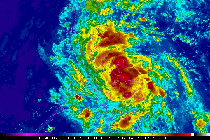
As of 2 a.m. this morning (May 15), Typhoon Vongfong (黃蜂, wasp) was located 1,090 kilometers southeast of Taiwan's southernmost tip of Eluanbi and moving northwest at a speed of 17 kilometers per hour (kph), according to the Central Weather Bureau (CWB). The storm has a radius of 150 kilometers and is packing maximum sustained winds of 118 kph with gusts up to 154 kph.
As Vongfong is currently tracking over land in the Philippines, it is beginning to weaken. On Saturday and Sunday (May 17), the CWB predicts that the periphery of the storm will bring scattered showers or thunderstorms to southern and eastern Taiwan.
https://image.taiwannews.com.tw/photos/2020/05/15/1589509898-5ebdff0a52c21.gif
JTWC map of Vongfong's projected path.
Starting today, coastal areas of southwestern and eastern Taiwan (including Orchid Island and Green Island) and the Hengchun Peninsula will begin to see large waves. Meanwhile, low clouds or fog in Kinmen and Matsu are likely to affect visibility.
In terms of intensity, the CWB rates the storm at the lower limit of a moderate typhoon and it is expected to weaken into a mild typhoon by the time it reaches the Bashi Channel. Nevertheless, the CWB is not ruling out the possibility that it may issue a sea warning for the storm.
The CWB predicts that the periphery of the storm will likely bring rainfall to eastern Taiwan and the Hengchun Peninsula and afternoon thunderstorms throughout Taiwan from Saturday through Sunday. On Monday (May 18), a plum rain front is expected to arrive and the CWB predicts that it will bring showers and thunderstorms across the country from May 19 to May 23.
https://image.taiwannews.com.tw/photos/2020/05/15/1589510533-5ebe0185ae4df.gif
NOAA animated GIF of Western Pacific.
In the Philippines, the typhoon made landfall over San Policarpo in Eastern Samar at 12:15 p.m., according to the Philippine Atmospheric Geophysical and Astronomical (PAGASA). The weather agency added that the typhoon is bringing powerful winds and heavy rain to the provinces of Samar, Eastern Samar, and Northern Samar.
Heavy rain was also reported in Masbate, Sorsogon, Catanduanes, Albay, Camarines Sur, and the rest of Eastern Visayas. Today PAGASA predicts heavy rains over the Bicol region, and moderate to heavy rains over Northern Samar, Quezon, Aurora, Marinduque, and Romblon.
Source:Taiwan News


