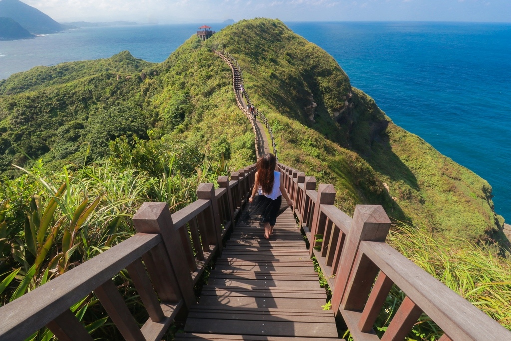
[Taiwan Immigrants’ Global News Network] The Bitou Cape Hiking Trail(鼻頭角步道), which has recently gained popularity in Thailand via social media, is roughly 3.5 kilometers long. Beautiful mountain bays and capes can be seen on the approach, as well as a 360-degree view of the ascent and the horizon. The Ridge Trail offers a breathtaking perspective of the surroundings as it winds around the emerald, green slopes. It is a popular destination in northern Taiwan and the starting point for many hikers. It has also developed into a must-see site for Thai tourists visiting Taiwan to take pictures.
Three interconnected paths in Bitou Cape Park total around 3.5 kilometers in length and are named Coastal Trail, Lighthouse Trail, and Ridge Valley Trail. During the route, tourists can take in the views of the sea and mountains. The major uphill path, known as the "Lighthouse Trail," runs from Bitou Elementary School to Bitou Cape Lighthouse, Bitou Cape's most notable landmark. Tourists can ascend and get a view of the northeastern coast by using the "Ridge Valley Trail," which rises over the mountain crest on the headland. The "Coastal Trail" is located close to the coast, where tourists may take in the Bitou Cape geological landscape's dynamic sea erosion.
Read more: Overstayers self-report for reduced penalty! Let NIA help you home!
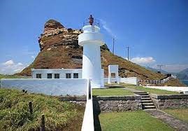
Bitou Cape Lighthouse.Photo provided by Tourism Bureau, M.O.T.C.
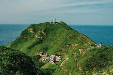
Mountain and Sea Views at Bitou Cape.Photo provided by Tourism Bureau, M.O.T.C.
The Bitou Cape Lighthouse (鼻頭角燈塔) is another well-known sight along the Bitou Cape Hiking Trail. The lighthouse was originally built and constructed as a hexagonal iron tower by Japanese in 1897. The battle caused damage to it. Later, in 1971, it was transformed into a white spherical tower made of reinforced concrete. The lighthouse is currently off limits to the general public due to safety concerns.
Read more: New Immigrants Visit the Wonderland--Bitan
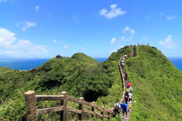
The Ridge Trail offers a breathtaking perspective of the surroundings as it winds around the emerald, green slopes.Photo provided by Tourism Bureau, M.O.T.C.
There is also a popular attraction on the Bitou Cape Hiking Trail. It used to be the camp area of the military base (鼻頭角聽濤營區). Since the camp was idle for nearly 20 years after the withdrawal of the sentry post, the Management Office (東北角管理處) re-beautified the original building with the military style, adding "pink" to the black, green, brown, and painting the cement steps on the trail into rainbow steps, becoming the most popular place for tourists to take pictures.
Read more: Foreigner YouTuber Visits Cing Jing Farm to Enjoy the Natural Landscape and Watch the Sheep Show
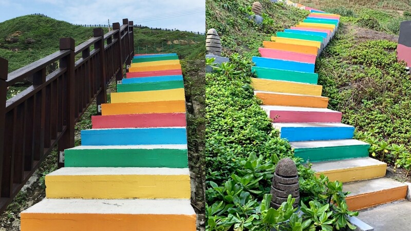
The rainbow steps of the military base (鼻頭角聽濤營區) on the Bitou Cape Hiking Trail.Photo provided by Tourism Bureau, M.O.T.C.
The most convenient way to go to the Bitou Cape Hiking Trail is to take public transportation. Tourists can take the train to Ruifang Station and then transfer to bus 791 or 856 (Golden Fulong of Taiwan Tourist Shuttle台灣好行黃金福隆線).

