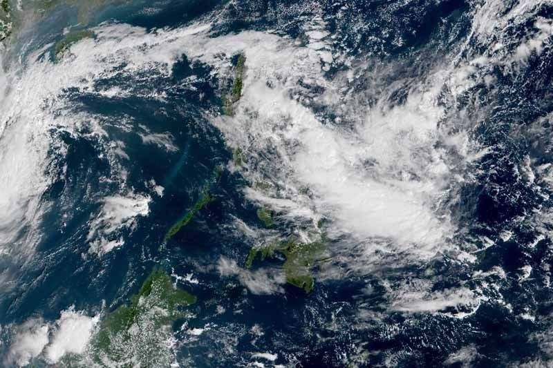
A brewing cyclone entered the Philippine area of responsibility yesterday afternoon and may slam into the eastern sections of Luzon and the Visayas this week.
As of 3 p.m., the low-pressure area was spotted at 1,025 kilometers east of Virac in Catanduanes, according to the Philippine Atmospheric, Geophysical and Astronomical Services Administration (PAGASA).
Aldczar Aurelio, PAGASA weather forecaster, said the weather system might intensify into a tropical cyclone either today or tomorrow. He said the weather disturbance would move closer to the Bicol region and Eastern Visayas in the coming days.
PAGASA weather specialist Loriedin dela Cruz said they are not ruling out a landfall scenario.
“It is expected to intensify into a tropical cyclone within one to two days and it is possible that the (low-pressure area) will affect the eastern sections of Luzon and the Visayas,” Dela Cruz said.
The next tropical cyclone to enter the country will be given the local name Ramon.
Dela Cruz said the trough or extension of the low-pressure area has started dumping rains over the Bicol region and Calabarzon (Cavite, Laguna, Batangas, Rizal and Quezon) as well as over Aurora province yesterday.
The weather disturbance was also expected to bring rains over Metro Manila tomorrow and on Thursday.
Within the next 24 hours, the trough of the low-pressure area will bring light to moderate rains and thunderstorms over the Bicol region, Eastern Visayas, Caraga and the provinces of Aurora and Quezon.
Northern Luzon will experience improved weather as the effect of the tail-end of a cold front – the boundary between cold and warm air – has weakened.
However, the weather system will still bring cloudy skies with light to moderate rains over these areas.
Source:philstar GLOBAL


